What do we offer?
Tools and services for ANALYSING, PREDICTING and OPTIMIZING the human-centered
performance of buildings and cities.
Consulting Services
for planners, developers and municipalities

Accessibility
Accessibility analyses help in understanding socio-economic potentials of a place. You can inform you decisions by knowing:
How many amenities can be reached by walking, driving or public transport?
What is the catchment area of service, shop or public facility and how many people can be reached?

Walkability
Walking is not only the cheapest and most ecologically friendly way to get from A to B. It also promotes social contact and physical health. Therefore walkability is major factor influencing the quality and economic value of property. You can benefit from the walkability analysis by:
Measuring the walkablity of a existing environment – how does it promote walking?
Predicting the walkability and economic value of future development
Defining efficient measures to improve the walkability

Visibility
People experience their environment mainly by vision. What they see influences their experience and behaviour. Our advanced visual analysis methods help to:
Identify visual attractors and visually prominent places
Create navigation-friendly environments
Estimate the visual impact of new developments

Pedestrian and Vehicular movement Flows
Proof your concept before its build
Maximize the return of your investment
Discover the hidden potential of urban areas


Generative & Analysis Tools
for urban and architectural planning

DeCodingSpaces Toolbox for Grasshopper
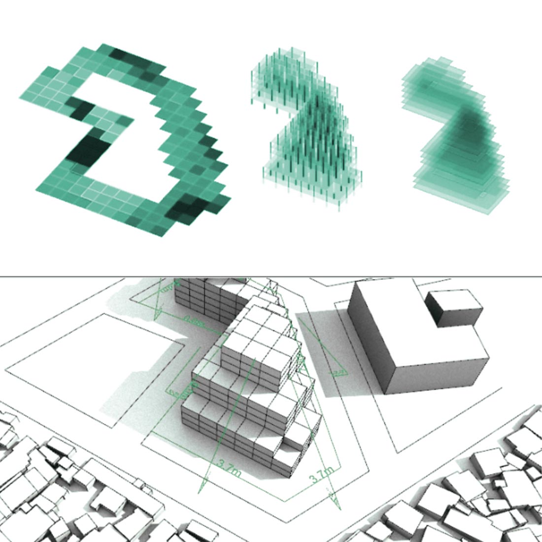
Computational analysis and generation of STREET NETWORK, PLOTS and BUILDINGS
DeCodingSpaces Toolbox for Grasshopper is a collection of analytical and generative components for algorithmic architectural and urban planning. The toolbox is free software released by the Computational Planning Group (CPlan) and is a result of long term collaboration between academic institutions and praxis partners across the globe with the common goal to increase the efficiency and quality of architecture and urban planning.
Who we are?
DecodingSpaces TEAM and PARTNERS network
German based international team of architects, urban planners and data-scientist working together with renowned research institutions throughout the globe
Bauhaus-Universität Weimar, Chair of Planning Systems
Bauhaus-Universität Weimar, Chair of Planning Systems | Prof. Dr.-Ing. Dirk Donath
For more information, please visit InfAR
Emerging City Lab Addis Ababa
For more information, please visit ECL-AA
ETH Zürich, Chair Information Architecture
Information Architecture, as we define it, has applications on 3 scales: small – the object or building; medium – the village or urban district; large – the city or territory. It builds on the assumption that there exist information structures –stable or dynamic – that represent crucial properties of architecture, settlements and territories. Based on this assumption, Information Architecture supports integrated trans-scalar design and evaluation, and it helps to make the invisible visible on each one of those scales. Simulation and visualisation are the major tools of Information Architecture. Both require appropriate abstraction and representation. Data and information are the raw materials of Information Architecture.
For more information, please visit ETH IA
Future Cities Laboratory Singapore
The Singapore-ETH Centre was established in Singapore in 2010 as a joint initiative between ETH Zurich and Singapore’s NRF, as part of the NRF’s CREATE campus. The centre frames two research programmes: the Future Cities Laboratory (FCL) and the Future Resilient Systems (FRS). The centre aims to strengthen the capacity of Singapore and Switzerland to research, understand and actively respond to the challenges of global environmental sustainability.
for more info, please visit ETH FCL
AIT Austrian Institute of Technology, Smart and Resilient Cities
The AIT Austrian Institute of Technology is Austria’s largest non-university research institution. With its eight Centers, AIT regards itself as a highly specialized research and development partner for industry and concerns itself with the key infrastructure topics of the future.
For more information, please visit AIT

Dr. Martin Bielik
CEO, Founder, Partner
Co-founder of DecodingSpaces. He has professional training in architecture, urban planning and data science. He is researcher and lecturer at Bauhaus-University Weimar, Germany and the Emerging City Lab Addis Ababa, Ethiopia.